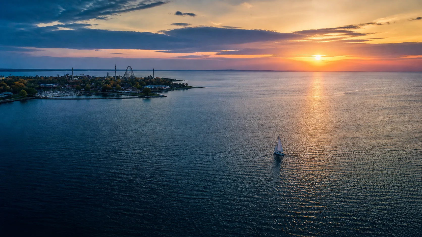
Illustrative aerial view inspired by Sandusky Bay at sunset
Welcome

Explore Sandusky Bay by Water

One of Lake Erie's great boating destinations — from the Cedar Point breakwall to Marblehead Lighthouse, Kelleys Island and the Bass Islands. Plan your day on the water with local weather, navigation notes, marina info and destinations you can reach by boat.
Sandusky Bay · Lake Erie Western Basin · Ohio

Automated update

Sandusky Bay Desk

Dynamic summaries published only when at least two named sources are available. Safety facts are copied or calculated from source data, not invented by AI.

Weather details →
Bay conditions

Water level and offshore observation check

The Marblehead gauge reports 572.26 ft IGLD. The latest independent offshore observation reports 1,012.9 hPa pressure. These stations describe different locations and should be read together, not treated as conditions at every point in the bay.

Updated

Editorial disclosure: This section is assembled automatically from the linked sources. AI rewriting is currently disabled because no authenticated AI provider is configured.

Illustrative wind-driven waves beneath changing clouds on Lake Erie
Weather

Marine Weather & Forecast

Authoritative marine forecasts, buoy observations and small-craft advisories from the National Weather Service and NOAA.

Check official sources before departure

Illustrative navigation beacon beneath an approaching Lake Erie storm
Navigation

Charts, Buoys & Hazards

NOAA charts covering Sandusky Bay and the Western Basin, the buoyed channel from the entrance to downtown, and hazards to know before you go.

Reference

Illustrative Sandusky Bay shoreline and marinas at sunset
Marinas

Marinas, Ramps & Fuel

Where to keep your boat, launch for the day, and top off fuel around Sandusky Bay.

Directory

Illustrative Lake Erie lighthouse seen across open water
Destinations

Places to Visit by Water

Waterfront restaurants, island stops, lighthouses and beaches you can reach by boat from Sandusky Bay.

Guide